
Runoff
Runoff is the water that flows across the land surface after a storm event. As rain falls over land, part of that gets infiltrated the surface as overland flow. As the flow bears down, it notches out rills and gullies which combine to form channels. These combine further to form streams and rivers.
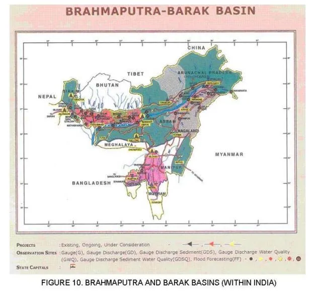
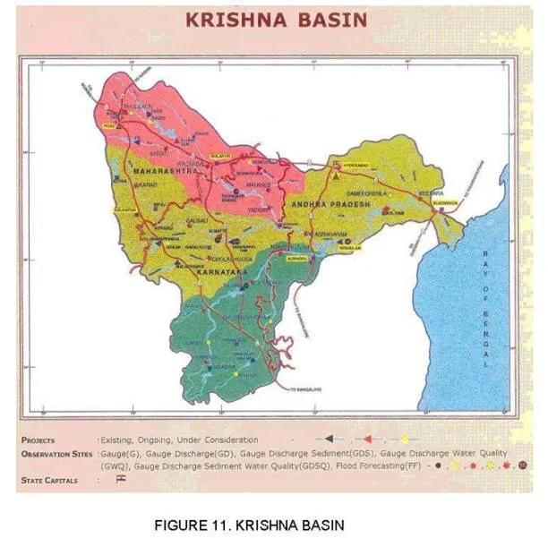
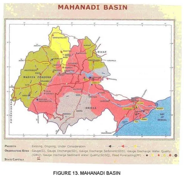
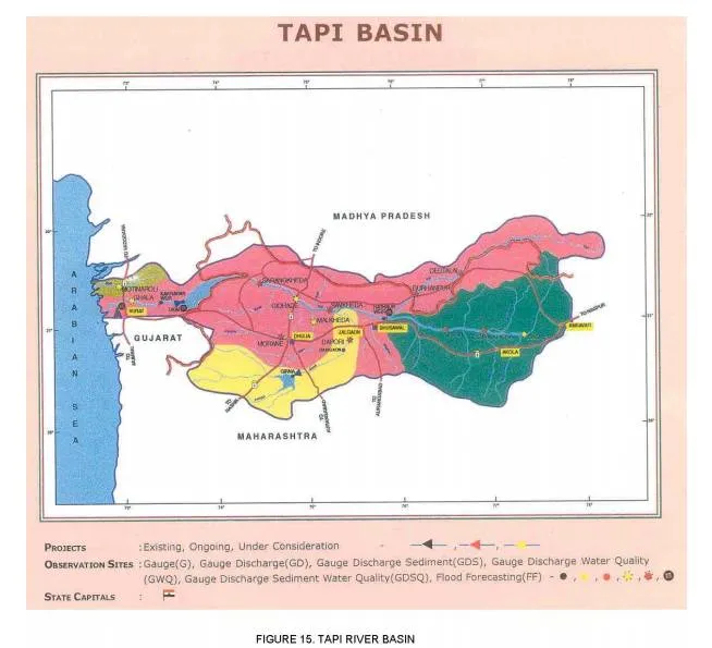
The geographical area which contributes to the flow of a river is called a river or a watershed. The following are the major river basins of our country, and the corresponding figures, as obtained from the web-site of the Ministry of Water Resources, Government of India (http://www.wrmin.nic.in) is mentioned alongside each.
· Indus (Figure 8)
· Ganges (Figure 9)
· Brahmaputra (Figure 10)
· Krishna (Figure 11)
· Godavari (Figure 12)
· Mahanandi (Figure 13)
· Sabarmati (Figure 14)
· Tapi (Figure 15)
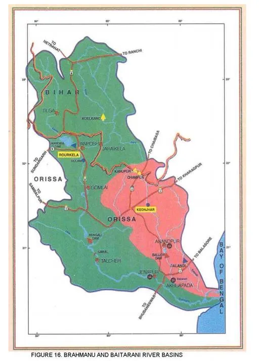
· Brahmani-Baitarani (Figure 16)
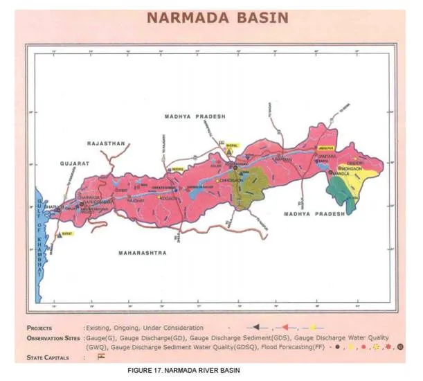
· Narmada (Figure 17)
· Pennar (Figure 18)
· Mahi (Figure 19)


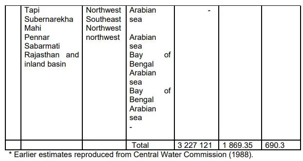
Some statistical information about the surface water resources of India, grouped by major river basin units, have been summarised as under. The inflow has been collected from the inistry of Water Resources, Government of India web-site.

Notes:
(1) Areas given are those in India territory.
(2) The potential indicated for the Brahmaputra is the average annual flow at Jogighopa situated 85 km upstream of the India-Bangladesh border. The area drained by the tributaries such as the Champamati, Gaurang, Sankosh, Torsa, Jaldhaka and Tista joining the Brahmaputra downstream of Jogighopa is not accounted for in this assessment.
(3) The potential for the Barak and others was determined on the basis of the average annual flow at Badarpurghat (catchment area: 25 070 km2) given in a Brahmaputra Board report on the Barak sub-basin.
(4) The assessment for Cauvery was made by the Cauvery Fact Finding Committee in 1972 based on 38 years’ flow data at Lower Anicut on Coleroon. An area of nearly 8 000 km2 in the delta is not accounted for in this assessment.
(5) The potential of the Narmada basin was determined on the basis of catchment area proportion from the potential assessed at Garudeshwar (catchment area: 89 345 km2) as given in the report on Narmada Water Disputes Tribunal Decision (1978).