Navigation Systems Through Satellites And Radars
Global navigation satellite systems are not only becoming relevant for the economy, these are having a huge impact on the everyday lives of human beings.

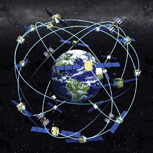
Earth surrounded by navigation satellites
Today, we use satellites instead of stars in the sky to figure out where we are and how to get to other places. The four global navigation satellite systems (GNSSes) are the US’s Global Positioning System (GPS), Russia’s GLObal NAvigation Satellite System (GLONASS), the European Union’s Galileo and China’s BeiDou. Additionally, there are two regional systems:
Japan’s Quasi-Zenith Satellite System (QZSS), and Indian Regional Navigation Satellite System (IRNSS) or NAVigation with Indian Constellation iNavIC (both by India). iNavIC is the regional satellite navigation system of India launched and operated by Indian Space Research Organisation (ISRO). It covers India and nearby regions extending up to 1500 kilometres.
Satellites are spinning objects in an orbit in space that can tell you where you are exactly. You just need to have a GPS receiver that can pinpoint your position, to just a few metres. The GPS receiver can guide you on your way to your destination, also powered by a voice that will direct you to go left, right or straight by finding a proper route to your destination. It is a broadcast system based on radio signals that reach all parts of the Earth, and can be used by any number of people at once.
Apart from helping people reach their destination, satellite navigation systems can also help track parcels, stolen properties, vehicles and growing crops. It helps find missing persons, guide the blind, improve traffic flow and vehicle efficiency, and conduct scientific research in meteorology, troposphere and geodesy. Despite the extensive importance of GPS in everyday life, most of us do not know how it works. So, let us take a closer look.
All satellites are constantly beaming out radio-wave signals towards Earth from a known position, and these signals travel at the speed of light. Every signal contains information about the satellite it came from and a time stamp that informs when it left the satellite. By noting when each signal arrives, the receiver can figure out how long it took to travel and how far it has come. Each satellite carries extremely precise atomic clocks to calculate how long the signal takes to travel. If a receiver picks up a signal from three or four different satellites, it can figure out your precise location, including altitude.