Nebo, voyage tracking and social networking app
Not long ago while talking to another boater he mentioned something about finding another boater on Nebo. At first I thought he misspoke, but then he repeated the name three or four times. Now I was curious so I grabbed my phone and searched the app store. What I found was pretty impressive… think one part Marine Traffic and one part social network.
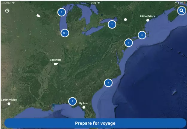
Nebo is a free app available in both the iOS and Android app stores, and its tagline — “Log. Connect. Share the journey” — does a pretty good job of capturing the core functionality. It offers strong trip logging, messaging and social networking features aimed at boaters. Successful social networking takes a lot users and, as seen above, there aren’t many in the U.S. yet. But Nebo’s Managing Director Stephen Winter says they already have about 18,000 vessels registered worldwide and I know that many current Loopers are using it, details below after a hands-on Nebo tour.
Voyage tracking

Nebo’s default screen displays your location and gives the option to start your voyage

Nebo asks a few questions about who’s on board and the name of the voyage and then lets you start tracking

If Nebo doesn’t recognize your location it will ask you to identify where you are

Tracking has begun, summary statistics are displayed and your track will be built on the map
Nebo attempts to make voyage tracking as easy as possible with a few quick questions. If Nebo doesn’t recognize your starting location it will ask you to name it. When tracking a voyage Nebo uses their global geofenced library to determine when a vessel leaves one area and arrives in another. Currently they have constructed this library with extensive coverage of Australia, their home market, Florida and the Mediterranean. I’ve been using it on the Great Lakes. While I haven’t been able to take advantage of the geofence library, the tracking still works well, but without some of the pretty names and awareness of geographic landmarks.
The biggest challenge I’ve encountered while using Nebo is remembering to start it when I begin my voyage and end it when I’m done. A problem I’ve had with other tracking functions as well, though as I’ve used them longer I’ve built them into my routines. Nebo has a feature where once it notices you’ve stopped moving it asks if your voyage is over and tracking should be shut off. It’s harder for Nebo to figure out when your trip starts. Stephen Winter says they are currently evaluating relatively inexpensive hardware that could be installed on the boat solely for the purpose of transmitting tracking data. Nebo is also evaluating working with existing hardware like FloatHub and building off their ability to send data to AIS tracking services.