Self-Driving Car Technology
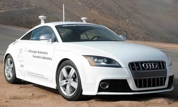
An autonomous vehicle is fundamentally defined as a passenger vehicle that drives by itself. An autonomous vehicle is also referred to as an autopilot, driverless car, auto-drive car, or automated guided vehicle.
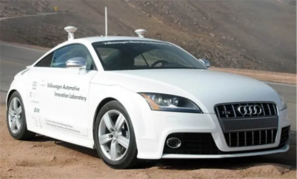
In the future, automated systems will help to avoid accidents and reduce congestion. The future vehicles will be capable of determining the best route and warn each other about the conditions ahead.
†
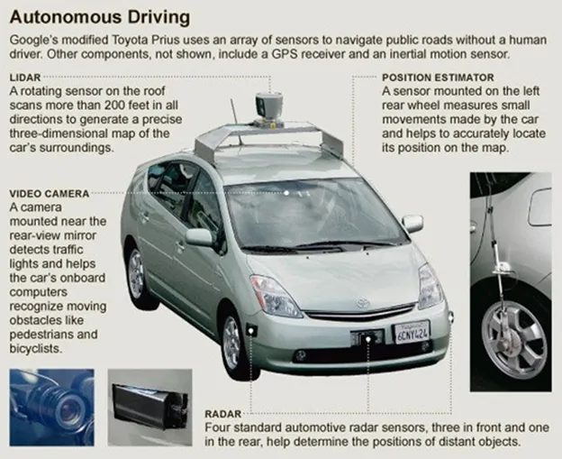
Google has been working on itís self driving car technology, where the user is required to enter an address in Google maps, after which the system gathers information from Google Street View and combines it with artificial intelligence software. The software includes information from video cameras in car, a LIDAR sensor on top of vehicle, radar sensors in front and a position sensor attached to one of the rear wheels that helps locate the carís position on map. These sensors aid the car in maintaining distance with surrounding vehicles/objects.
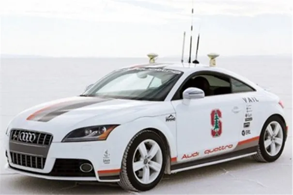
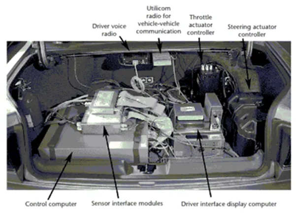
The control mechanism of an autonomous car consists of three main blocks as shown below:
1. Sensors
-laser sensors
-cameras
-radars
-ultrasonic sensors
-GPS, etc.
2. Logic Processing units
-Software
-Decision making
-Checking functionality
-User interface
3. Mechanical control systems
-Consists of servo motors and relays
-Driving wheel control
-Brake control
-Throttle control, etc.
Artificial Intelligence Software:
Artificial intelligence is the making of intelligent machines, especially intelligent computer programs. It is related to the similar task of using computers to understand human intelligence. This system exhibits human intelligence and behaviour include robots, expert systems, voice recognition, natural language processing, face recognition, handwriting recognition, game intelligence, artificial creativity and more. By this technology both google map and google street view are interrelated.
Google Map:
Google Maps is a Google service offering powerful, user-friendly mapping technology
and local business information-including business locations, contact information, and
driving directions.
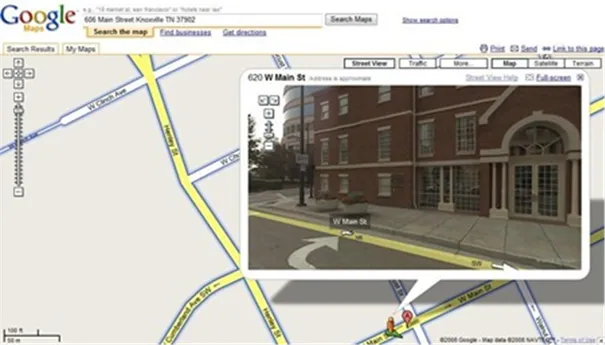
Google Street View:
Google Street View (GSV) has rapidly expanded to provide street-level images of entire cities all around the world. The number and density of geo-positioned images available make this service truly unprecedented. A Street View user can wander through city streets, enabling a wide range of uses such as scouting a neighbourhood, or finding specific items such as bike racks or mail boxes.
LIDAR Sensor:
Light Detection And Ranging is an optical remote sensing technology that can measure the distance to, or other properties of a target by illuminating the target with light, often using pulses from a laser. LIDAR uses ultraviolet, visible, or near infrared light to image objects and can be used with a wide range of targets, including non-metallic objects, rocks, rain, chemical compounds, aerosols, clouds and even single molecules.A narrow laser beam can be used to map physical features with very high resolution.
Position Sensor:
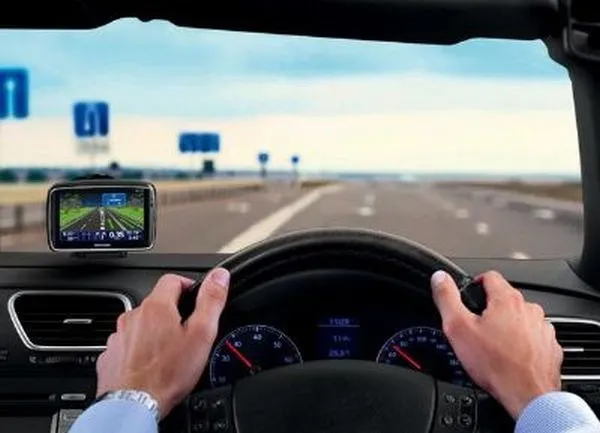
This device provides the latitude, longitude and altitude together with the corresponding standard deviation and the standard NMEA messages with a frequency of 5 Hz. When geostationary satellites providing the GPS drift correction are visible from the car, the unit enters the differential GPS mode (high precision GPS). When no correction signal is available, the device outputs standard precision GPS.
Radar Sensor:
Radar (Radio Detection And Ranging) is an object-detection system which uses radio waves to determine the range, altitude, direction, or speed of objects. It can be used to detect aircraft, ships, spacecraft, guided missiles, motor vehicles, weather formations, and terrain. The radar dish or antenna transmits pulses of radio waves or microwaves which bounce off any object in their path. The object returns a tiny part of the waveís energy to a dish or antenna which is usually located at the same site as the transmitter.